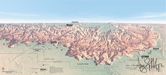
Grand Canyon Panorama Map: South Rim in foreground, canyon in shaded relief and North Rim at the top. This map shows a generalized overview only. Topography derives from 10-meter USGS Digital Elevation Models (DEMs) manipulated to show foreground areas in a more map-like manner than background areas. Vertical exaggeration is used. Graphical scales are shown on; note that distant features are at much smaller scales than foreground areas.
© Amy S. Martin Photography